crossorigin="anonymous">
top of page

Latest posts

Mount Habrich loop at sea to sky
Clem Duranseaud
12 minutes ago
4 min read

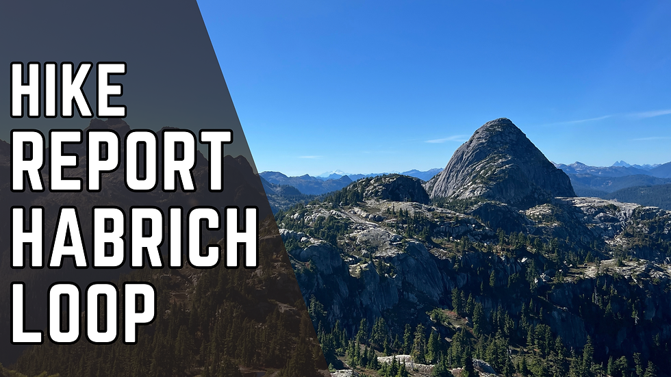
Mount Habrich is one of the peaks behind the Chief in Squamish. We originally set out to summit Mount Harbich, but wet rocks and our inexperience with scrambling kept us at the base of the final ascent.


It was a stunning hike regardless, offering incredible views of the Squamish Valley and one I highly recommend if you want something a little more than just the Chief.


Total hiking time: 1o hours

Total ascent: roughly 1500m

Difficulty: advanced


Mount habrich Parking and trailhead


We parked at the free parking at the Chief.


You have two options from here:


  1. Take the sea to sky Gondola, which is $80 and start the hike from the Summit Lodge

  2. Hike up the Sea to Sky, which takes 2-3 hours depending on fitness level and adds 700m of elevation to your day


Being cheap asses who enjoy a good physical challenge, we opted for option 1.


Mossy forest trail with stone steps and a wooden stair beside a rocky cliff under tall trees, lit by soft daylight.
The Chief hiking trail. Lot's of stairs at the beginning.

The trailhead for the Sea to Sky hike is the same as the Chief.


You stay on the Chief's trail for the first 200m of elevation, and then you take a slight right when you see the sign for the Sea to Sky trail.
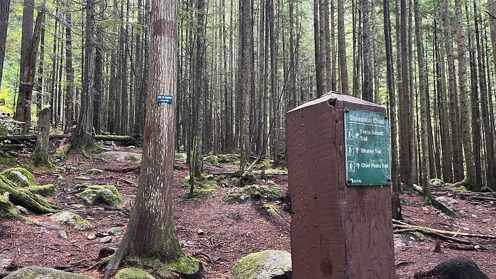

Mossy forest trail junction with signs for Stawamus Chief, Sea to Summit, Sihane y and Chief Peaks; quiet, overcast woods
You can't really miss the sign

Once on that trail, we took the option to take "The Climb" route. Whereas the Sea to Sky gently meanders up, the Climb goes straight up to the Lodge. Think of it as a sort of Grouse Grind of Squamish.


It's tougher but shorter.


Mossy forest trail with boulders and Sea to Sky Gondola signs pointing to Sea to Summit and Skatshn routes.
Choose wisely: left of a longer, less steep route, right for route steeper than avocado prices at whole foods.
Moss-covered boulders and tall pine trees line a quiet forest trail, with green canopy and rugged rocks.
The steepness of The Climb: the trail goes between the rock and the tree trunk on the left of the pic
Trail signs on a tree read Sea to Summit Trail and The Climb (Skatshn) in a mossy forest with rocky stairs.
The route is very well marked, easy to follow thanks to these signs

At Summit Lodge we took our time to enjoy a coffee and then headed back out.


The trailhead to the Habrich loop is roughly 200m away from the lodge and well marked.


Hikers cross a suspension bridge over a forested mountain valley, with blue peaks and clear sky in the background.
Suspension bridge at Sea to Sky
Tourists on a wooden mountain-view deck under a bright blue sky, some taking photos and pointing.
Summit Lodge
Blue mountain lake view from forested overlook, with gondola cables, distant peaks, and wispy clouds under a bright sky
Views from summit lodge with the Woodfibre pulp mill in the distance.
Hiker with backpack stands by Al's Habrich Trail sign in a sunlit forest, facing the wooded path.
Habrich trailhead from the summit lodge
Red trail sign on a tree reading Al’s Habrich Trail beside a gravel path in a quiet forest.
The trail markers make it easy to follow

Hiking Habrich Loop


Despite it's name, this loop will not take you to Mount Habrich. There is some route finding necessary to get to the Habrich ridge. Once on the ridge, you have a clear view of the summit and route finding becomes easy.

Route finding becomes trickier, infrequent cairns and little orange tape like this one become the sole markers

We had a GPS on our phone and we relied on it heavily to find where we had to turn off the Habrich Loop. I had read a few hike report where people mentioned bushwhacking, and now I completely understand why. The trail from the Habrich loop to the ridge was barely used.


That trail started from a cute little pond, pictured below.


Clear mountain pond reflecting tall pine trees and autumn shrubs under a bright blue sky, with calm, quiet wilderness mood
Habrich trail
Habrich trail

Hiking on the ridge was breathtaking, with views of the Squamish Valley on one side and the Shannon Basin on the other side. We had clear views of Sky Pilot Mountain and Co-pilot.

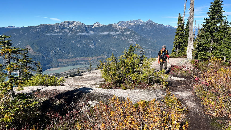
Hiker with backpack stands on rocky overlook above forested mountains and a blue lake under a clear sky.
Views 30 min into. the Habrich loop
Hiker on a rocky alpine trail with evergreens, overlooking a blue mountain range and valley under a clear sky.
Rocky mountain peaks and pine forest under a clear blue sky, with sunlit granite ridges and a calm alpine vista.
Views of Mount Habrich
Hiker with backpack on alpine trail beside a pond, looking toward a towering rocky mountain under a clear blue sky
The trail goes down this rock face. We lost the trail at the top, and bushwhacked down.
Hiker on a sunny rocky alpine trail with pine trees, boulders, and red wildflowers under a clear blue sky
A cairn marker
Hiker with backpack climbs a rocky alpine slope under a clear blue sky, with pine trees and large boulders around.
On the ridge leading to Mount Habrich
Hiker in blue cap points at a rocky mountain peak under a clear blue sky, with forested ridges and open granite foreground.
Trying my best influencer pose

Scrambling at Mount Habrich


Summiting Mt Habrich requires a grade 4, exposed scramble. There is a sort of little rock chimney you need to climb up right at the beginning. I assume this is a piece of cake for anyone used to climbing, but I admit it kind of stumped me.


I struggled, ungracefully, up the chimney and then immediately wondered how I was going to get down it. Even though it was a sunny day, and it hadn't rained in the last few days, some of the rock was wet, which didn't help the situation.


It's at this moment that my old man and I decided to call it there, practice our rappelling skills and come back another time to finish the summit.

Sunlit rocky mountain cliff with sparse evergreens beneath a clear blue sky and bright haze
The start of the scramble. The chimney is at the right of the pic
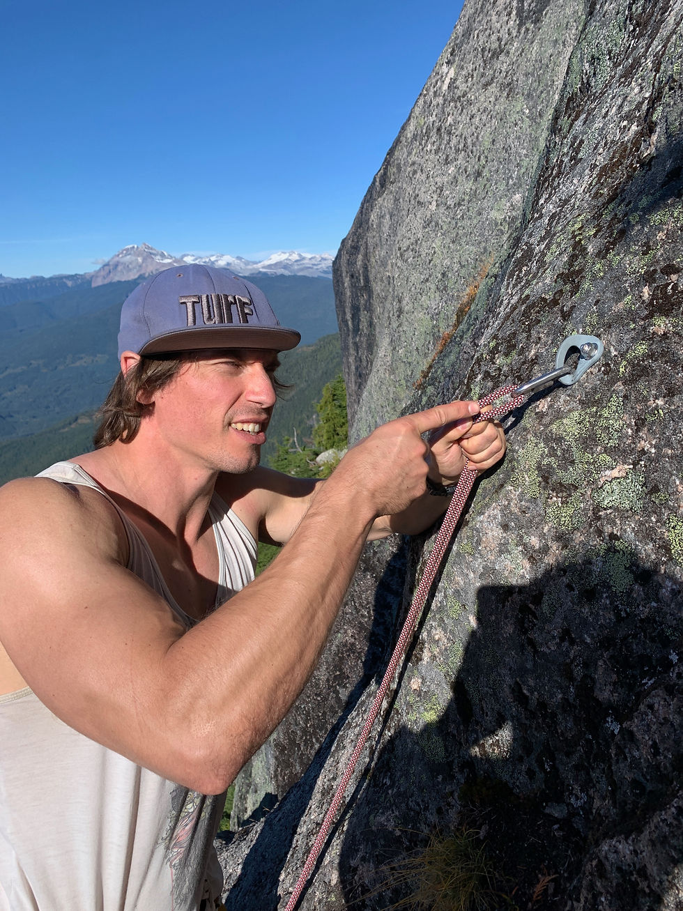
Climber in a TURF cap clips rope to an anchor on a sunlit granite cliff, with snowy mountains and blue sky behind.
It took me a while to trust the tiny anchor with my life
Climber in a cap ascends a steep rocky mountain face on rope above a forested valley.
Once I sorted my trust issues we got some good practice in

Coming back to the Gondola


We took the Climber's Route down, which is basically the steepest 500m descent I have ever seen. The trail goes straight down to the floor of the Shannon Basin where it reconnects with the forest road.


Going back to the Gondola was very straightforward, it took us maybe an hour of easy walking on the road.


We had opted to take the gondola down (only 19$ if you pre book online for just the way down). We had started at 8am and it was now 6pm, I was incredibly gratefull to take the easy way down, not to mention that the sun was going down.


Someone we passed told us that the chimney at the beginning of the summit was the toughest part, so I can't wait to go back and verify that claim.


Gravel trail through dense evergreen forest, lit by warm sunlight, with ferns and trees framing a quiet mountain path
The forest road back to the gondola
Hiker with backpack climbs a steep rocky trail in a sunny forest of tall pines and boulders.
Coming down the Climber's Route
Sunny mountain lodge patio with empty picnic tables and white umbrellas beneath a modern gondola station, pine trees and blue sky.
Summit Lodge Gondola

Happy Hiking,


Clem.


More Hike reports:


Disclaimer: This article shares my personal experience for entertainment purposes only. It is not a hiking guide or a substitute for proper research, route planning, and preparation. Conditions can change, and your experience may differ. Always assess the risks, know your limits, and make your own decisions in the mountains.

Comments

Rated 0 out of 5 stars.
No ratings yet

Add a rating

© 2025 by Clem Fitness.

Clem fitness online personal trainer

Get the latest articles in your inbox

Thanks For subscribing

bottom of page